This is just a quick note about the January 29 crash of a passenger aircraft and helicopter at Washington Reagan National Airport. As I’ve said before, I will refrain from commenting on the crash until the full NTSB report is issued (I hope it will not be politicized). One exception: the NTSB did state that the helicopter was on a training mission related to “continuity of government.” So I can comment on that.
Since the advent of the Cold War in the 1950s, and with the Soviets’ acquiring nuclear weapons, the US set in motion a plan to evacuate critical government officials, including the President, members of Congress, and the Supreme Court, to secure areas outside the capital region. After the fall of the Soviet Union in the early 1990s, the need for such an evacuation lessened, only to be revived after the September 11, 2001 attack on the Pentagon, and the belief that the fourth hijacked aircraft was headed for the Capitol. Therefore I conclude that it is entirely appropriate to conduct training missions to be ready if such an event recurs. (The evacuations after 9/11 did not go as planned.)
A lot has been written about these previously-secret locations. There is no shortage of books and magazine articles about “the top-secret location you’ve never heard of!” or similar.
They’re not secret. You can find the locations on Google maps, and decent descriptions on Wikipedia and other web sites. I’ll just mention two. Note that neither site has a runway to accommodate fixed-wing aircraft, and the public roads to those sites are narrow and twisted. Helicopters are the only practical way to ferry personnel from DC.
“Site R” is located on the Blue Ridge, near the Mason-Dixon line. It is intended to house military personnel to continue operations if needed. It is called the “Alternate Joint Communications Center” or AJCC.
Site R: "Site R": Wikipedia page
Mount Weather is located on the ridge dividing Virginia and West Virginia, and is much more elaborate. It is intended to maintain continuity of government functions.
As a resident of the region, I am naturally interested in these sites, but I have always left the detailed discussions of them to others. Two that I recommend are by Christopher Bright, on Continental Defense, and by David Krugler, on early warning:
My research on Tysons Corner, Virginia, began with a question about the purpose of a radio tower, which at the time dominated the skyline (now eclipsed by several high-rise office buildings). I heard that it was for top-secret military communications, later it was suggested to me that it was operated by the CIA (never confirmed). Fortunately, I never went down that “rabbit hole,” and I was able to concentrate on the presence in Tysons Corner of defense contractors, A.K.A. ”Beltway Bandits” — I am now at liberty to use that pejorative term.
The tower was constructed to facilitate communications between the various government departments in the DC region, and the alternate locations in the Blue Ridge. Tysons Corner was chosen because it was closest site near Washington that was outside the blast zone of an atomic bomb. The tower is still in use. Direct photography of it is forbidden.
My interests in High-Frequency radio led me to visit to to several transmitting and receiving fields in rural Maryland, Pennsylvania, and Virginia, where communications could be handled by shortwave radio. Other microwave towers were built on the Blue Ridge—these have been mostly given over to commercial or FAA use, the Pentagon switching over to fiber optic cables.
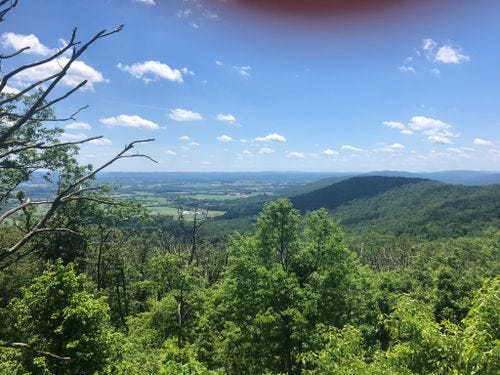
One final personal note. One of the great benefits of living in the DC area is the proximity to the Appalachian Trail, which runs along the Blue Ridge through Maryland. On one hike with my family, we came across a set of radio towers at a place called “Lambs Knoll.” No other hikers on the trail that day. The only sounds were the chirping of a few birds. Suddenly, we heard a motor start up, and the high-frequency Yagi antenna started rotating, until it appeared that it was following us! A good setting for the “X-files.”


